Difference between revisions of "Sector1/The Devils Triangle (Region)"
From Elite Wiki
(→General description) |
(→Map) |
||
| Line 5: | Line 5: | ||
== Map == |
== Map == |
||
| − | <!-- This div should be part of ClickMapHeader, but the MediaWiki 1.9.3 is too old. --> |
||
| + | {{ClickMapHeader|Sector=1|Image=Sector1 The Devils Triangle RegionMap.png}} |
||
| − | <div style="position:relative">{{ClickMapHeader|Sector=1|Image=Sector1 The Devils Triangle RegionMap.png}} |
||
{{ClickMapEntry|Name=Retila|Sector=1|XPos=175|YPos=218|XPosRel=526|YPosRel=328}} |
{{ClickMapEntry|Name=Retila|Sector=1|XPos=175|YPos=218|XPosRel=526|YPosRel=328}} |
||
{{ClickMapEntry|Name=Riraes|Sector=1|XPos=182|YPos=224|XPosRel=547|YPosRel=337}} |
{{ClickMapEntry|Name=Riraes|Sector=1|XPos=182|YPos=224|XPosRel=547|YPosRel=337}} |
||
{{ClickMapEntry|Name=Bibe|Sector=1|XPos=172|YPos=238|XPosRel=517|YPosRel=358}} |
{{ClickMapEntry|Name=Bibe|Sector=1|XPos=172|YPos=238|XPosRel=517|YPosRel=358}} |
||
| − | {{ClickMapFooter}} |
+ | {{ClickMapFooter}} |
| − | <!-- This /div should be part of ClickMapFooter, but the MediaWiki 1.9.3 is too old. --> |
||
== Systems == |
== Systems == |
||
Revision as of 22:33, 14 November 2009
General description
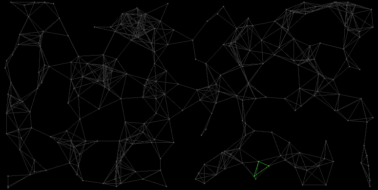
The Devils Triangle consists of the systems Retila, Riraes, and Bibe.
Map

Systems
| ID | Name | HC | Position | Gov. | Eco. | TL | Prod. | Pop. | Inhabitants |
|---|---|---|---|---|---|---|---|---|---|
| 1:20 | Retila | 6 | (175,218) | 8960 MCr | 3.5 Bln. | Human Colonials | |||
| 1:148 | Riraes | 5 | (182,224) | 7936 MCr | 3.1 Bln. | Human Colonials | |||
| 1:181 | Bibe | 4 | (172,238) | 1408 MCr | 1.1 Bln. | Human Colonials |
|
